
Up to 60 road miles
Measured from an active stocking supply point that carries the requested material.
Truckload material quotes · Kansas City aerial imagery
Delivery / Working Range
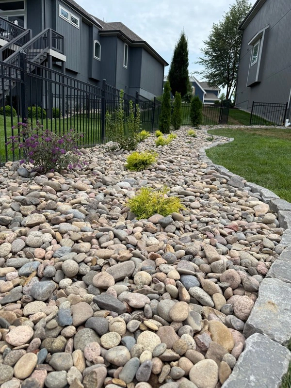
Commodity aggregate is quoted within 60 road miles of an active stocking supply point. Eligible decorative river rock may be quoted up to 300 road miles. Every lane is confirmed by ZIP, product, tonnage, and written quote.
Distance limits are maximums, not promises of availability for every product or location.
01 / How coverage works
Freight is part of the product. Send the delivery ZIP, material, approximate tons, and timing so the job can be checked against an eligible source.
Request a delivery quote ↗Working footprint
Garden City, Dodge City, Liberal, Ulysses, Hugoton, and nearby communities.
Eastern Colorado plains communities, quoted when stock and freight make sense.
Oklahoma Panhandle projects are reviewed when product availability and freight make sense.
Measured from an active stocking supply point that carries the requested material.
Review the river rock delivery guide. Product-specific limits, active stocking availability, truck access, and written confirmation still apply.
Website estimates are planning tools. Product, freight, tax, and timing are finalized in writing.
02 / Separate service footprint
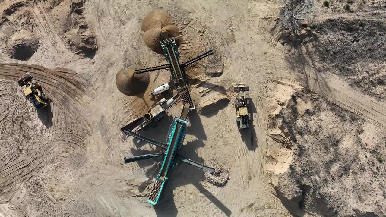
FlintEdge provides high-resolution aerial photography, visual orthomosaics, recurring progress imagery, and data capture support for licensed project teams across the Kansas City area.
Stitched overhead imagery for project communication and records.
Consistent viewpoints and coverage for before-and-after comparisons.
RTK-capable drone and GNSS base/rover tools available when the written scope calls for them.
FlintEdge Stone is not a licensed land surveying or engineering firm. Equipment capabilities do not establish project accuracy or make a deliverable survey-grade. Boundaries, elevations, coordinates, contours, quantities, drainage, design, and certified measurements require an appropriately licensed professional.
03 / Delivery guides
These pages reflect the current indexed delivery footprint. A city listing is a planning guide, not a guarantee that every product is available from every source.
04 / Start the conversation
Location is the first useful detail for either service. From there, we can confirm the right source, flight scope, access needs, and realistic next step.