Truckload material delivery · Southwest Kansas
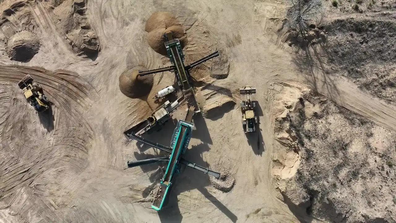
Truckload stone, sourced for the job.
Browse river rock, gravel, crushed stone, base aggregate, and sand available through active supply points. Start with your ZIP and tons; every delivery is confirmed by written quote.
per material
maximum
maximum
All material orders are confirmed by written quote before scheduling.
01 / Capabilities
Start with what the project needs.
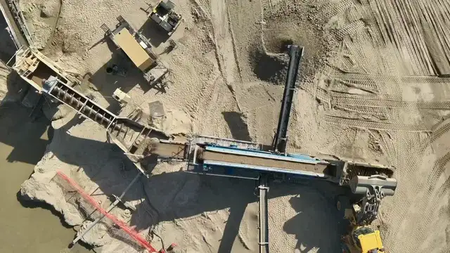
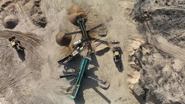
FlintEdge connects material sourcing, practical delivery planning, and site-level visual documentation without turning the website into a maze of service pages.
02 / Material quoting
A delivery plan built around the source.
Freight changes the economics of stone. The planning flow starts with the material and the nearest stocking supply point, then ends with a human-confirmed quote.
Browse the catalog ↗- 01Choose a material
Review sizes, common uses, and current catalog availability.
- 02Enter ZIP and tons
Build a planning estimate against an eligible supply point.
- 03Send the quote list
Tell us what the job needs and where it needs to go.
- 04Confirm before scheduling
Material, freight, tax, timing, and site access are confirmed in writing.
03 / Material board
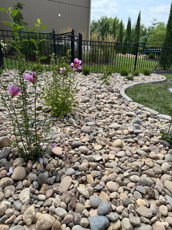
Stone with a job to do.
Decorative, drainage, driveway, base, and site-work options available by quote.
View all materials ↗




04 / From source to site
The quote starts long before the truck moves.
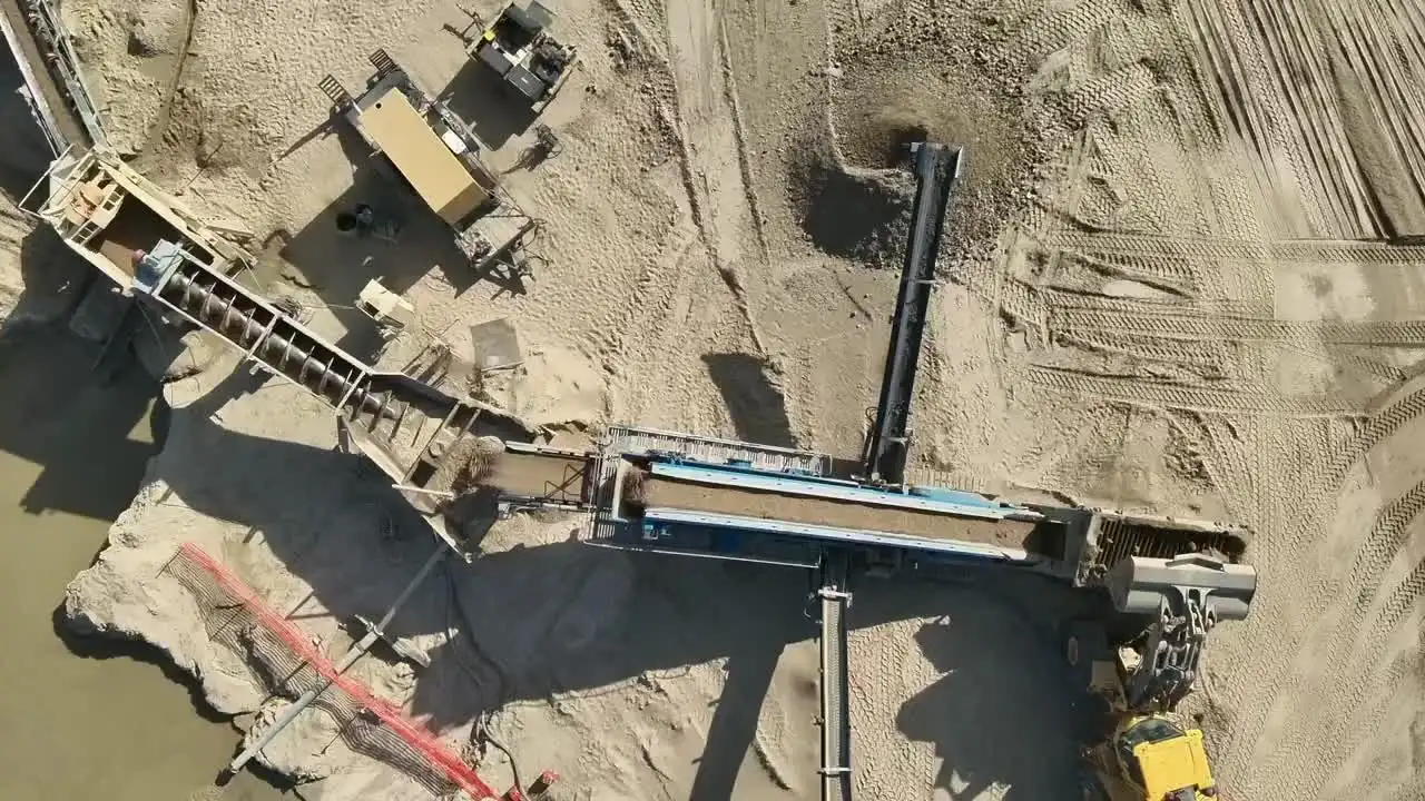
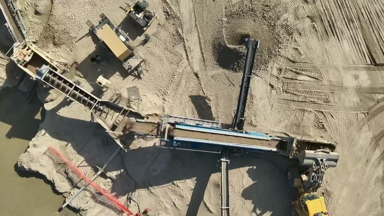
Stocking location, product availability, truck capacity, haul distance, and site access all shape a workable delivery. The website helps organize the request; the written quote confirms the real plan.
- Typical fit
- 12–26 ton truckload projects
- Best value
- Fuller loads and clearly scoped sites
- Final step
- Written confirmation before scheduling
05 / Kansas City aerial
One flight. A more useful view of the work.
High-resolution aerial photography, visual orthomosaics, repeat progress imagery, and data capture support for licensed project teams across the Kansas City area.
FlintEdge Stone is not a licensed land surveying or engineering firm. Aerial deliverables are visual documentation unless a licensed professional independently defines and leads a regulated scope.
Explore aerial services